
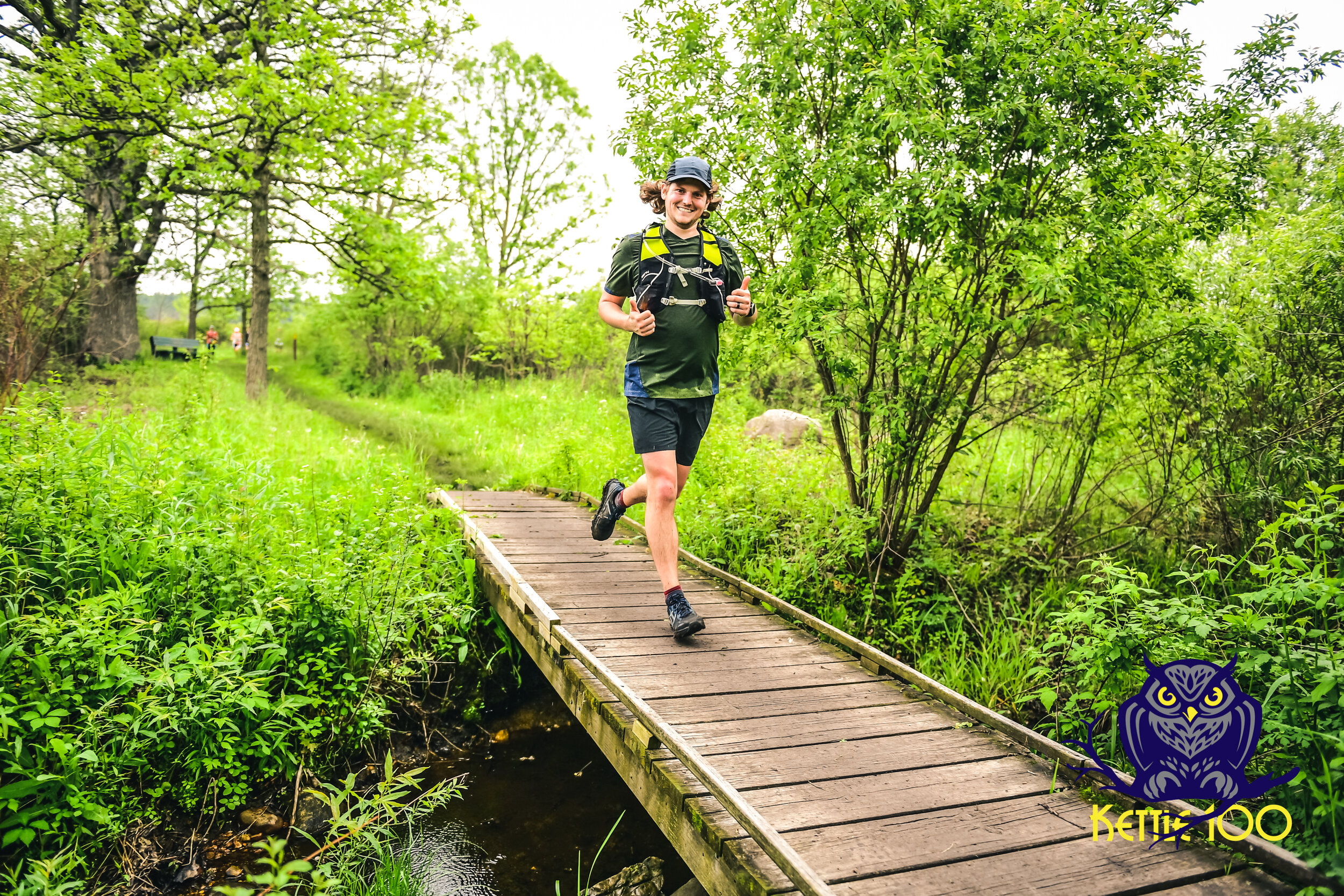
Visualize the 100 mile Race Course
By local trail runner:
Natasha Steenbergen
About Nordic to Tamarack
Runners must be diligent not to go out too fast. This section is wide, beautiful, and gentle with less than 400 feet of elevation gain. The first 2.5 miles are flat and adrenaline will carry the pack swiftly under the luscious tree cover and allow for sorting out an order ahead of any single-track. The stretch from mile 2.5-3.5 has been closed up until race time to support conservation work, so users need to detour around it on the other loops of the system. These trails are closed to foot traffic when there is snow on the ground and are groomed for cross country skiing. The trails normally re-open in March. There is a wonderful system of multi-use mountain bike trails located directly across the street.
However, this same section doesn’t feel flat at all on the way back inbound, so runners ought to give it the respect it deserves – especially that section 2.5-3.5 out from Nordic!
About Tamarack to Bluff
The Tamarack aid station is at the end of a straight tree-lined stretch just ahead of a short climb for outbound runners, making it the perfect place to grab a snack and make adjustments. Runners will never see it, but they’re just across the road from S&R Egg Farms, a third-generation family operation with multiple locations. This location has a capacity of 800,000 hens. The 2.5 miles or so from this aid station to the next is also fast and flowy with only around 200 feet of elevation gain, including some short open sky sections, and another beautiful pine forest. Runners will have enjoyed a total 7.5 miles on Nordic’s blue loop. The loop is 9 miles around in total, and has mileage signs every half mile. The signs will be facing runners on the inbound legs and come seemingly slowly at that point.
About Bluff to Horseriders
After runners have been able to warm up and sort themselves out in order for 7+ miles, they’ll leave the Nordic loop, and cross Bluff Rd to visit the Aid Station in a wide-open grassy area. They will take a short single-track connector to meet up with the Moraine Ridge Snowmobile trail. That trail runs 32 miles from near the North end of our racecourse all the way to near the South end of our course, but today our runners will only be on it this very short while before approaching Confusion Corner. Confusion Corner is where Moraine Ridge and the Ice Age Trail cross in a fashion that can leave folks confused on which way they would like to go if left unguided. On the first way out, approximately 8 miles in, runners will head straight to hop on Ice Age Eastbound.
This is the toughest leg with over 700 feet of elevation gain (approximately 160 feet of gain per mile). Runners will enjoy running along a high ridge with a long view to the Northwest before winding around and down to cross Young Road. They’ll enjoy another flat half mile or so before climbing Bald Bluff also known as Indian Signal Hill. At 1,050 feet, Bald Bluff is one of the highest points in Jefferson County. Its prominence made it attractive to Native Americans, pioneers, and the U.S. military during the Black Hawk War. Runners will see some black skeletons of trees from a controlled burn this spring, meant to reinvigorate the natural prairie plants. The Black Hawk War ended on August 2, 1832, at the Battle of the Bad Axe just north of Prairie du Chien. The Black Hawk War was the last major Indian war in Wisconsin. Rapid settlement of the Kettle Moraine region followed. It’s a steep hike on medium sized stones, but doesn’t take too long, and the runners will be treated to a gorgeous overlook at the top. From there, they’ll proceed 1.5 miles on single track to the Stone Elephant – a massive granite erratic. While there is the most elevation change in this leg, there are also fast and flowy stretches, and entirely shaded. There is a wonderful downhill approach to the Horseriders aid station (which is a grueling climb on the way inbound). Horseriders is a very popular camping spot all summer long with access to many beautiful equestrian trails in the Kettle Moraine State Forest Southern Unit.
100-mile runners on their second outbound approach and fun-runners will turn left at Confusion Corner to head out on Ice Age Westbound (jump to Duffin Rd AS for next notes on this).
About Horseriders to Natalie’s New Aid station
After refueling, Horseriders to Natalie’s New Aid station is a quick 5K averaging less than 100 feet of elevation gain per mile, mostly shaded, with beautiful wildflowers lining the single-track path. Emma Carlin has rugged looped hiking and mountain biking multi-use trails with tight switchbacks, rocks, and roots, and the parking lot fills early in the morning on delightful summer days, so that’s why we’re not setting up an aid station there anymore. Emma is a wonderful spot to visit with pit toilets and drinking water available. Our runners will be refilling their water at the road crossing in between full aid stations at Horseriders and McMiller.
About Natalies New Aid station to McMiller
Runners will enjoy 1-2 miles on the Stoney Ridge Segment of the Ice Age Trail before spurring off onto the trails of the McMiller Sports Center. The first mile is open prairie, which should be fast on the way out, but hot on the way back. It is a real treat having a race at McMiller, because the trails are not mowed during summer otherwise. This section off the Ice Age is new to the course this year. McMiller is best-known for the shooting range, which may alarm runners being in earshot of, and cross-country skiing. There are many loop options and locals find amusement in often getting lost at McMiller, despite how well the loops are marked. Runners will pass the approach to “big hill” which offers a panoramic Western view of the sunset. McMiller is very hilly, but also fast with comparatively few rocks and roots underfoot.
About McMiller to Wilton Rd
After being treated to the full hospitality of the Ten Junk Miles podcast crew in the shelter under the tall pines at McMiller and swapping out gear from drop bags, runners will cross the road onto McMiller’s biathlon course for a short while, before connecting with the Eagle Horse Trail. This is new to the course also. The horse trail has stretches of deep, loose, fine sand. It may also have equestrian traffic, which always has the right of way. Between sandy stretches, the surface is mostly rocky, with some decent climbs and descents, but also mostly shaded. It will be a slower section for many. Veteran Kettle runners will return to familiar sights just south of Hwy 59 as they cross the train tracks and rejoin the Ice Age Trail outbound. Crossing the tracks outbound begins a very fast section in cool weather, but has grown an infamous reputation for how hot it can be on the return stretch in typical hot afternoon conditions. Runners cross a short section of private land that is available only by the kindness of the property owners. Highway 59 to Highway N is 1.4 miles of rather flat meadow, followed by a one mile stretch of wooded trail approaching Wilton Rd.
About Wilton Rd to Hwy 67
Runners will want to restock their fluid supply and enjoy a snack at the exposed Wilton Rd aid station, because they have over two more miles of open prairie ahead of them before retreating into woods for the entirety of the Northern end of the course. This section has several boardwalks and turtles were spotted within the last week laying their eggs. It is typically very wet in Spring, but this has been an exceptionally dry year. Runners will have a view of Brady’s Rocks in their final mile approaching the Highway 67 aid station – our small bit of evidence of the Niagara Escarpment.
About Highway 67 to Highway ZZ
The distance from Highway 67 to Highway ZZ is only two miles, but they pack a punch outbound after so long on relatively even terrain in the meadows. The return trip inbound is fast with a noticeably net loss in elevation after climbing up from the Hwy ZZ aid station. Many runners will be hitting ZZ at lunch time, along with being early in the 50K race, so those volunteers have their work cut out for them. This section is heavily shaded and beautiful.
About Highway ZZ to Scuppernong
From Highway ZZ, runners will enjoy 5.1 unique miles as a single loop before heading inbound the way they came. They’ll start on horse trail under tall pines and meet back up with the Ice Age Trail for approximate 1.5 miles. This section has steep, tight switchbacks. There is a hiker logbook at the top of a long climb to sign in and enjoy a break on the bench if desired. They’ll then meet up with the Scuppernong Green Hiking Trail and complete the remaining 3.5 miles of it counterclockwise. The loop is wide ski trail and heavily shaded. This is one of the few loop trails in the area that is no longer groomed for cross country skiing, making it a welcoming haven for runners year-round. Scuppernong is a wonderful place to celebrate being 50 kilometers into the day’s journey. Runners will then cross the road back to the Highway ZZ aid station.
About Bluff Rd to Duffin Rd
This begins the leg unique to the 100-milers and 38-mile fun-runners and is not part of the 50K or 100K course. Here they’ll turn left at Confusion Corner and head Southwest. This section is relatively flat and fast West of Highway H, and runners can enjoy a welcomed break here under tall pines. They’ll run around the backside of the John Muir Hiking and Biking Trails. There is a reservable primitive shelter for hikers near Duffin Road, and a stream alongside the trail when there’s not a drought.

About Duffin Rd to Highway 12
This stretch has several climbs and descents along the way, and a wonderful variety of plants and scenery to take in. There are slow climbs and fast flowy parts too, and it’s all single track. Runners will enjoy many views of Lake LaGrange as they run most of the way around it, getting very close to the water’s edge on the Northern side of the lake. Once they get around the lake, they’ll start a wooded climb and descent to get to the Highway 12 aid station, which is a popular lot for locals because of being located on a US Highway and its large size.
About Highway 12 to Rice Lake
Most runners will be experiencing this, the Whitewater Lake Segment of the Ice Age Trail, in the dead of the night. It is arguably the most technical section of the course and will be slow-going. It is a gem to visit during daylight hours and worth a visit back to the area to see. There are views of Rice Lake from a distance, views of the city of Whitewater, and an iconic tree tunnel among other favorite spots. There are wood beam stairs in a few locations to prevent erosion on the steep elevation changes. An airplane landed on this section in May, closing the trail for approximately one week until it was air-lifted out by a larger plane. No one was injured. However, what most of our runners will see are lots of large roots and rocks underfoot. They will delight in the respite of the Rice Lake aid station, but then have to turn around and do it all over again inbound.
